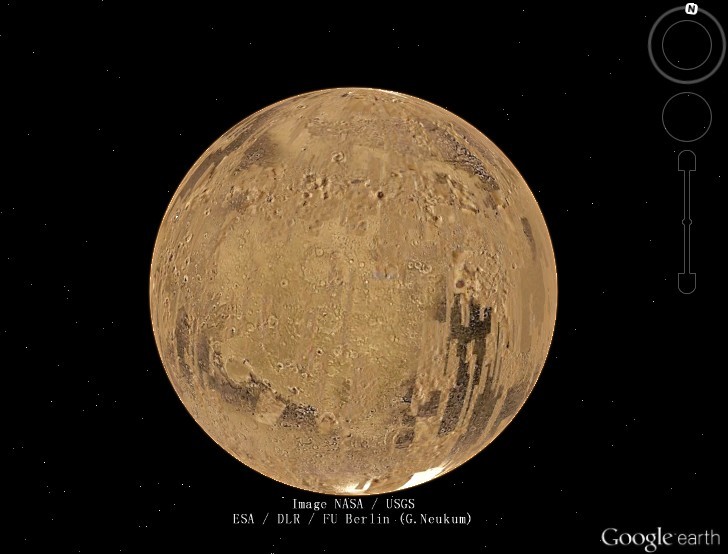
On November 7, Google updated Google Mars with new images from the Context Camera (CTX), and now provides fantastic views of the red planet.
Previously, the resolution of most areas on Google Earth was approximately 50 feet per pixel. A higher resolution of 12 feet per pixel was only provided on specifically selected locations, and there was no such special place on Mars, except in small patches covered by the HiRISE camera on Mars Reconnaissance Orbiter.
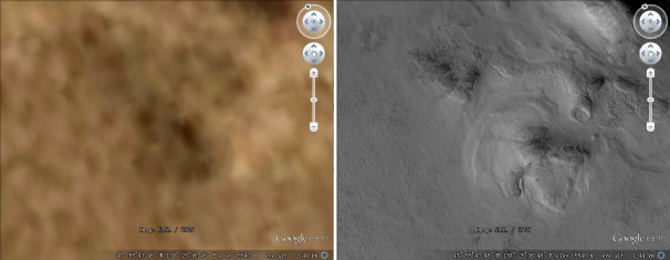
Since the update, Google Mars has new CTX Mosaic layer coverage with a resolution of about 20 feet per pixel. CTX is located on NASA’s Mars Reconnaissance Orbiter and takes pictures with great detail – up to 6 feet per pixel. The following pictures show a certain location viewed with CTX Mosaic layer (right) and without (left).
Google Earth’s update also includes information on the Mars landing plan. It contains an informative tour of each of the four potential landing sites where NASA’s Curiosity rover could have landed, according to Adam Mann from WIRED.
Google Mars was first released with Google Earth version 5 in February 2009. It can be viewed in Google Earth by clicking the switch button and changing the view from Earth to Mars.
To experience this new technology, tick CTX Mosaic in the Layer column, and let us know what you think.


